Oak Mapping
It is challenging to conserve a resource if you do not know where it is.
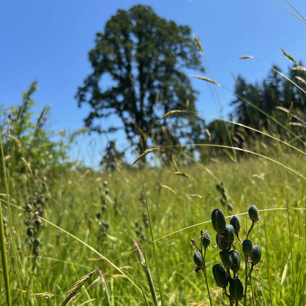
Photo by: Alana Nasadyk
Early Portland-Vancouver Oak Prairie Work Group efforts focused on developing an oak distribution map for the metropolitan Intertwine region and adjacent watersheds. Recent work has focused on tracking changes in oak distribution and teaching others how to map oak.

2019–Today: Applications and Oak Mapping Workshop
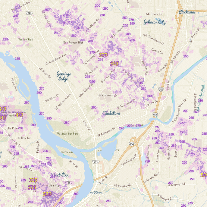
The Oak Prairie Work Group oak map has supported efforts in implementing its Strategic Action Plan, enhancing public education, prioritizing natural area acquisition, and encouraging stewardship for oak habitats on private lands, as well as returning traditional stewardship practices at select public and private sites.
In December 2025, the Oak Prairie Work Group offered a workshop to teach people outside of the Portland-Vancouver Intertwine region how to map oak in their own areas of interest. The methods may not work in all areas, particularly for the northern end of the range where oak may be less recognizable in aerial photos.
2014–2019: Oak Mapping
From 2014–2019, Oak Prairie Work Group used high resolution aerial photos to systematically map the region’s oak distribution for conservation planning. Our oak data consisted of dots on the map, and while they did illustrate distribution patterns, we needed a way to visualize oak habitat patches.
In 2019, Oak Prairie Work Group hired a consultant to transform the oak points into oak habitat patches. As of June 2026, the Oak Prairie Work Group’s data viewer is currently transitioning to a new version of ArcGIS Online and an updated link will be available soon.
This data was integrated into the Regional Habitat Connectivity Work Group’s 2020 habitat connectivity modeling efforts. The Regional Habitat Connectivity Work Group covers the same extent as the Oak Prairie Work Group. Interested in joining? Contact Lori.Hennings@oregonmetro.gov.
2013–2014: OakQuest
A 2013–2014 community science effort called “OakQuest” provided initial oak presence information, with over 200 volunteers gathering 15,000 oak tree observations across the Intertwine region. We attempted to create a GIS oak model using the OakQuest data as training information, but we were unsuccessful. However, when we viewed the OakQuest volunteers’ data on GIS, we realized we could recognize oak canopy from aerial photos. We abandoned modeling efforts and decided to hand-map oak distribution for the entire region.